
Innovative Tool Paving the Way for Local Communities
As Canada grapples with an unprecedented wildfire season, the newly developed interactive fire map is proving to be a lifesaving resource. This real-time tool offers residents crucial geographical data on fire locations, evacuation orders, and air quality ratings, assisting communities in managing the ongoing crisis while ensuring public safety.
The Rise of Wildfire Activity
This year alone has seen a dramatic increase in wildfire activity, with over 13,000 square kilometers affected across the country. Reports from Natural Resources Canada indicate that around 90% of these wildfires are caused by human activity, underscoring the urgent need for public awareness and proactive measures.
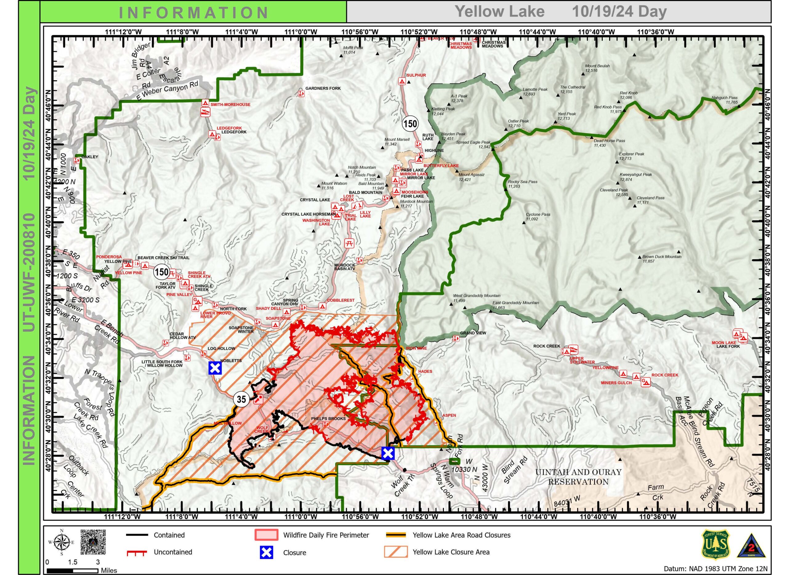
How the Fire Map Works
The fire map integrates data from multiple sources including satellite imagery, meteorological data, and local reports to provide up-to-date information. Users can access specific information about fire hazards in their areas and track the progress of existing fires. Local authorities are encouraging residents to use the map to stay informed about their surroundings.
Public Sentiment and Response
Public response to the fire map has been overwhelmingly positive. Many Canadians took to social media to praise the tool, with one user writing, “It’s reassuring to have such accurate information available right at our fingertips.” Community leaders are also endorsing the tool, believing it could significantly improve crisis response. Local Fire Chief Angela Desjardins remarked, “The fire map has become an essential part of our wildfire management strategy. We are able to communicate with residents in real-time, which could very well save lives.”
Community Education Initiatives
In addition to the fire map, local governments are launching educational initiatives aimed at helping citizens understand fire safety and preparedness. Workshops and online resources are being developed to teach residents about fire prevention methods and create an action plan in the event of an emergency. “Knowledge is power,” said Desjardins, emphasizing that understanding fire risks is key to safeguarding homes and lives.
A Bright Future in Crisis Management
As technology continues to evolve, so too do the tools available for crisis management and public safety. The fire map represents a significant stepping stone in utilizing technology for community welfare. With advancing satellite systems and data analytics, similar tools could soon emerge for various crisis situations, from floods to storms, fostering a culture of safety and preparedness across Canada.
Looking Ahead
With wildfire season still in full swing, the importance of the fire map cannot be understated. Authorities are urging residents to rely on this innovative tool for their safety and to stay informed. The path ahead will require cooperation and vigilance, but with such powerful resources at hand, Canadians can face these challenges head-on.