
Introduction: A New Fire Season Unfolds
As summer settles in, Canada is bracing itself for what experts warn could be a particularly active wildfire season. A new, interactive wildfire map released by Environment and Climate Change Canada shows the latest hotspots, allowing residents to stay informed and take necessary precautions.
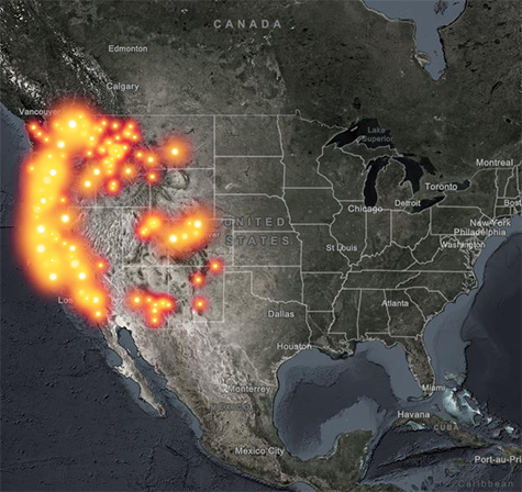
Understanding the Wildfire Map
The wildfire map displays real-time data on active fires across the country, highlighting areas where fire risk is elevated. The map uses colour coding to indicate levels of threat, ranging from low to extreme. In British Columbia and Alberta, provincial governments have issued alerts as flames have quickly spread in various regions.
Recent Statistics Indicate Major Threat
This year’s wildfire season has already seen over 10,000 hectares burned across Canada, with major incidents reported in the Okanagan Valley and Peace Country. According to Scott Van Der Waal, Associate Professor at the University of Alberta, “The combination of dry weather and high temperatures has created ripe conditions for wildfires. Communities should closely monitor the wildfire map and heed evacuation notices when necessary.”
Public Reaction and Preparedness
Public sentiment is a mix of concern and vigilance. Many residents in fire-prone areas are taking to social media to share the latest updates, expressing their fears and strategies for maintaining safety. A tweet from a local resident in Kelowna read, “We’re watching the wildfire map closely. It’s time to create an emergency kit and plan our escape routes.”
Government Response and Resources
In response to the burgeoning wildfire threat, provincial authorities are ramping up resources allocated to fire suppression and community education programs. Fire departments are conducting controlled burns in at-risk areas and providing workshops on creating defensible spaces around homes. The government is urging residents to stay aware of each update of the wildfire map, especially those living near forested areas.
Looking Ahead: The Importance of Staying Informed
As conditions continue to evolve, it is crucial for Canadians to utilize the wildfire map not only for awareness but also for preparation. Keeping abreast of the latest information could mean the difference between safety and disaster. Whether it’s creating an emergency plan or checking evacuation routes, knowledge is power in times of crisis.
Conclusion: Stay Alert and Safe
This wildfire season presents a growing challenge for multiple communities across Canada. As the fire map is updated frequently, staying informed will be key for individuals and families alike. With open communication between governmental agencies and communities, it is hoped that the impacts of wildfires this year can be mitigated.